Raglan 23

≡ Menu
  • Home
  • What’s On
    • Events this month
    • Movies in Raglan
  • Directory
    • The Raglan Directory Info
    • Eat/ Drink
    • Health/ Wellness
    • Accommodation
    • Our Community
      • Community Organisations
    • Prof/Trade/Serv
    • Retail
    • Activities/ Venues
    • : Bow St/Bus Areas
    • – Our Members
  • Visitor Info
    • Cafes
    • Pipiwharauroa Walk/ Bike Trail
    • Bridal Veil/ Waireinga Falls
    • Wharf
    • Free or cheap visitor activities
      • Heritage Walks
      • Arts in Raglan
      • The Road to Raglan
    • Getting to Raglan
      • Getting away from Raglan
      • Driving & Flying
      • Maps
    • Fishing
      • Launching ramps
      • Manu Bay Fishing
      • Wharf Fishing
    • Ask a question/ FAQ
      • Dogs in Raglan
      • Getting around
    • Photos
      • Raglan Ramblers photos by John Lawson
      • Richard Gallagher’s Raglan photos
      • Rodger’s Raglan photos
      • NZSURFPIX Raglan photos
      • Te Uku Wind Farm photos
      • Art To Wear
      • Videos
    • Self Catering
  • Beaches, Surf
    • Raglan Surf
    • Bush Park Wainui
    • Raglan Domain Papahua/ Te Kopua
      • Papahua Pump Track
      • Te Kopua Fitness Trail
    • Manu Bay
    • Ngarunui Beach
    • Walking Ngarunui
    • Wainui Reserve
    • Whale Bay
  • Weather
  • Holiday Accommodation
    • Backpackers
    • Holiday & Caravan Parks + Camping
    • Hotels & Motels

New platform a one-stop shop for Raglan geospatial data

by A Contributor August 19, 2021

Shared Services news

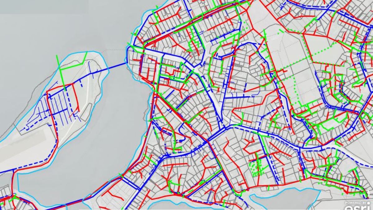
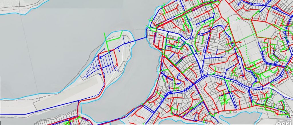
Waikato OneView is a new and innovative platform ideal for people or agencies seeking geospatial related data for Raglan Whaingaroa and other parts of the Waikato region.

The public platform merges data from seven different councils to provide a unified and more comprehensive view of spatial information.

Geospatial view of 3 waters for Raglan – Image WLASS

Waikato Local Authority Shared Services (WLASS) Chief Executive, Kelvin French, said over the past year, councils have worked together to deliver a product that is customer-centric and good for the community.

“Before OneView, geospatial information was limited to within the boundary of a territorial authority. In some instances, data across the different councils was inconsistent or unavailable, meaning people or agencies couldn’t easily acquire all the data they needed,” said Mr French.

“OneView provides a one-stop shop for councils’ open GIS datasets. It includes water utilities and infrastructure, property boundaries and zones, community and recreation maps such as bike and walking tracks, and other community-related data.”

The information is presented via a web map viewer and can be viewed, searched and downloaded in a variety of formats, complying with the Government’s policy of making data widely accessible and available for reuse.

Waikato OneView features data from Waikato Regional Council as well as local councils Hamilton City, Waikato District, Thames-Coromandel, Waipā, Hauraki and South Waikato.

“It doesn’t have information for all the Waikato region just yet, but the platform will continue to evolve as each council continues to update, add and further enhance the information available,” said Mr French.

Waikato OneView is an extension of the Waikato Data Portal, the first of the region’s geospatial collaboration projects giving the public easy access to councils’ open datasets.

Check out Waikato OneView at oneview.waikatolass.co.nz.

About WLASS

WLASS was initially established to provide local authorities in the Waikato region with a vehicle to procure shared services. Its key purpose has since evolved to drive meaningful collaboration between councils, improve customer service and performance, and reduce costs.

Connect with:
Facebook

Leave a Reply Cancel reply

Connect with:
Facebook

Your email address will not be published. Required fields are marked *

Raglan Radio Programmes

CLICK HERE for more on RAGLAN RADIO
Click here for Raglan Sunset Motel

Click here to book other accommodation in Raglan, New Zealand

_______________________________

Polls

In June 2021 a 'painted roundlet' was opened by the Mayor at the intersection of Bow and Wainui. What needs to be done to this intersection?

View Results

  • Polls Archive
≡ Menu
  • Home
    • About Raglan Website
  • Site Map
  • Contact Us & Advertising
    • Classifieds
  • Raglan Weather
    • Raglan Weather Maps
  • About Raglan Weather
  • Raglan Webcam
  • Raglan Tides
fb
twitter
rss feed
Instagram
Google Plus

Latest Raglan News

  • Council brings Freddie back
  • Jun 1: Ramblers climbing Karioi from Ruapuke
  • Council adopts rate to cover Raglan food waste collection costs
  • Covid test pick up site moves to Raglan Food Bank
  • 200 litre effluent tanks an issue with cows producing 52 litres a day

Earlier Raglan News

Recent Comments

  • Steve Hutcheson on Waoku Lodge & Moana Day SpaHi there, I'm trying to organize a day spa for the mrs and a couple of friends for her birthday..
  • John Lawson on May 4: Raglan Community Board meeting1.30pm Community Board meeting no longer at Supper Room, but on-line - https://us02web.zoom.us/j/5111086998 Meeting ID: ..
  • Aeireira on Kokiri Centre Riria Kereopa MemorialTena tātou, Just wondering who I contact in regards to booking of the facilities please. We are looking at holding..
  • Edward Prince on At 85% fully vaccinated Whāingaroa is behind lowest DHB on 86%How embarrassing Raglan and surrounds, bottom of the list. Must try harder.
  • Edward Prince on Whāingaroa Covid vax behind lowest DHByep i think we are getting down to the hard core anti vaxxers now. Not surprising considering all the hippie..
Copyright Raglan 23: 2021